Greta Baumann · 24 September 2026
Historic Wreckage Unearthed in Coastal Archaeology Initiative Fuels Erosion Strategy Discussions
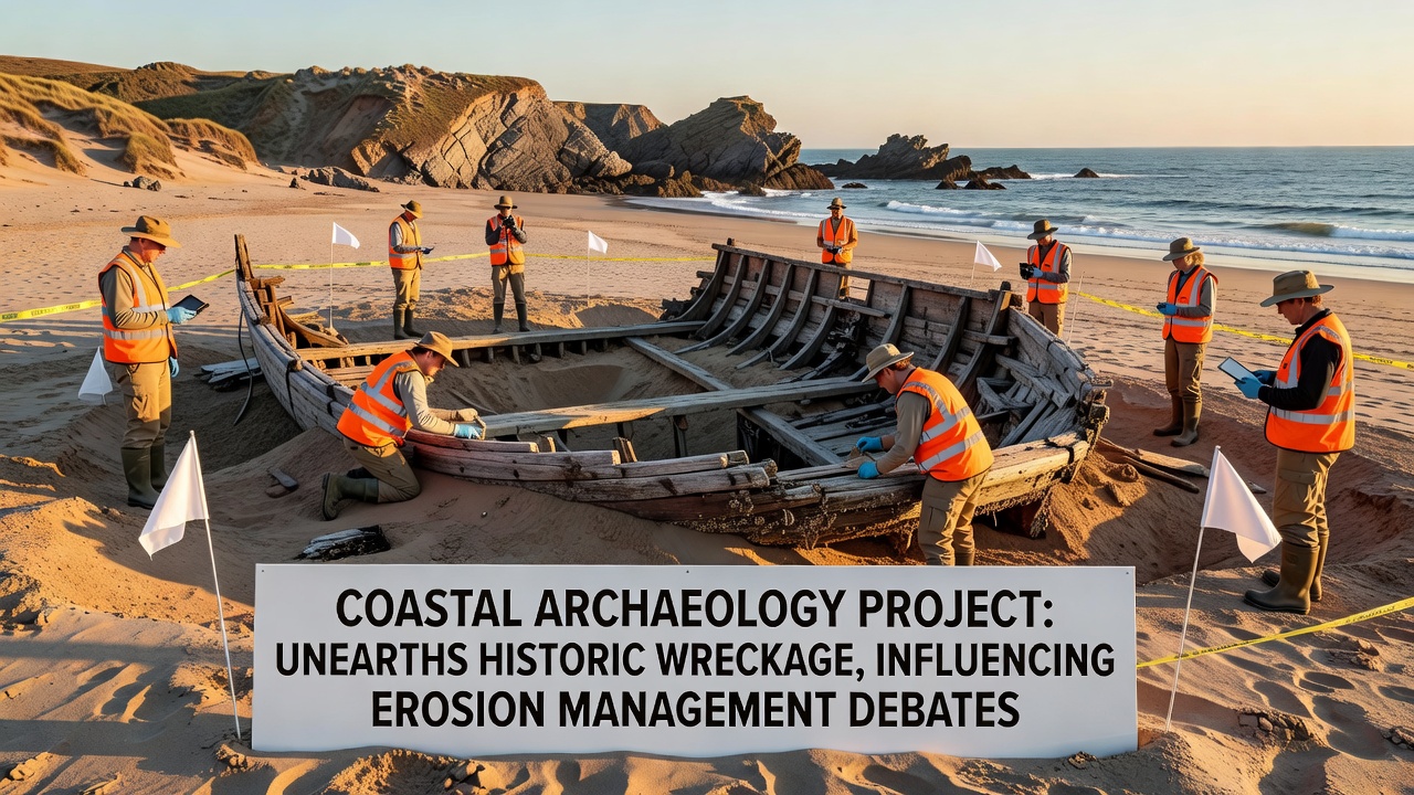
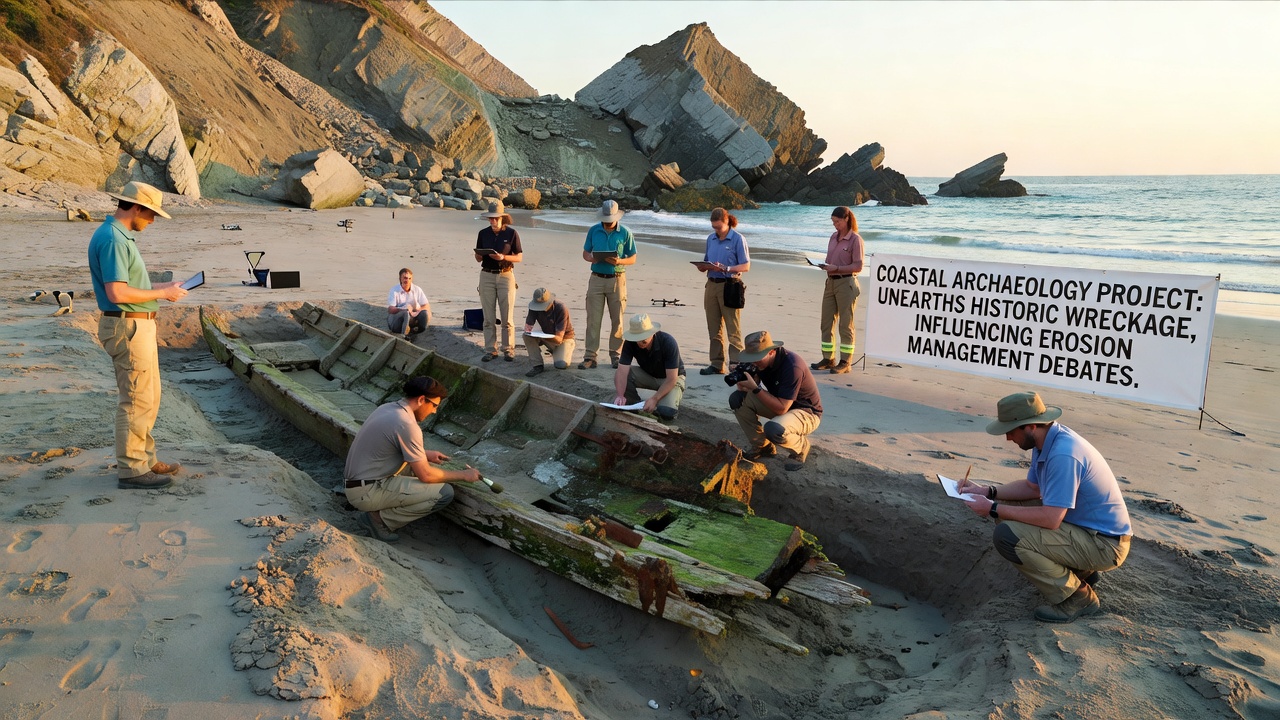
Archaeologists working along a stretch of coastline completed a multi-year excavation in September 2026 that brought to light substantial remains of a wooden vessel dating back several centuries and the findings have entered ongoing conversations about how erosion control measures are planned and implemented in similar regions. The project documented layers of sediment that preserved hull sections, cargo fragments, and personal artifacts which researchers catalogued before advancing stabilization protocols.
Project Background and Methods
Teams from multiple institutions coordinated surveys using ground-penetrating radar and targeted test trenches to locate the site after initial reports of exposed wood during seasonal storms. Data collection included stratigraphic mapping and radiocarbon dating that placed the vessel construction in the late seventeenth century while comparative analysis of recovered pottery and metal fittings pointed toward trade routes active in the North Atlantic at that time. Observers note that the combination of non-invasive scanning followed by controlled excavation allowed the group to document context without accelerating natural sediment loss.
Key Discoveries from the Site
Excavation revealed approximately forty meters of articulated hull timbers along with barrel staves, navigational instruments, and ballast stones that together provided a snapshot of maritime activity during the period. Conservation specialists applied polyethylene glycol treatments to waterlogged wood samples on site and transferred selected artifacts to climate-controlled facilities for further study. Figures from the project indicate that over two hundred individual items were recovered and logged before seasonal tides reclaimed portions of the exposure.
Connection to Erosion Management Planning
The presence of the newly documented wreckage has entered discussions among coastal planners because traditional hard-structure defenses such as seawalls can alter sediment transport patterns that currently protect buried archaeological deposits. Research indicates that softer approaches including beach nourishment and managed realignment may preserve site integrity while still addressing flood risks yet planners must weigh these options against data showing variable erosion rates across different shoreline segments. A report from Environment and Climate Change Canada outlines how integrated coastal zone management frameworks now incorporate archaeological sensitivity mapping as one layer in risk assessment models used by regional authorities.
Broader Context from Comparable Cases
Similar projects in other jurisdictions have produced comparable outcomes where historic remains surfaced during routine monitoring and prompted adjustments to shoreline protection schemes. One study released by the University of Queensland examined several Australian sites where early intervention with geotextile barriers reduced artifact displacement during storm events while still permitting natural dune rebuilding. Those findings align with observations from the current excavation that sediment dynamics around the vessel remains appear sensitive to changes in wave energy caused by nearby infrastructure.
Stakeholder Perspectives and Data Inputs
Local government agencies have requested updated erosion modeling that factors in the archaeological layer alongside existing bathymetric and meteorological records. According to preliminary outputs from these models certain sections of shoreline may require modified setback distances to avoid future exposure events while other areas could accommodate limited reinforcement without compromising buried contexts. Industry groups focused on coastal engineering have contributed technical input on material choices that minimize long-term sediment starvation down-drift from project locations.
Future Monitoring and Research Directions
Project leads have installed permanent monitoring stations equipped with time-lapse cameras and sediment traps to track ongoing changes at the site through at least 2028. Plans call for annual geophysical surveys that will feed into a shared database accessible to both heritage agencies and coastal management offices. Researchers continue laboratory analysis of recovered organic remains to refine understanding of vessel construction techniques and onboard activities which may inform predictive models for locating additional deposits along comparable coastlines.
Conclusion
The excavation has supplied concrete data points that coastal authorities can reference when updating erosion management guidelines and the process demonstrates how archaeological documentation can integrate with engineering assessments without requiring separate regulatory tracks. Continued collaboration between heritage specialists and planning bodies will determine how future projects balance preservation needs with infrastructure requirements in dynamic shoreline environments.