Ulrich Keller · 8 October 2026
Data Analytics Shaping Erosion Control in Historic Coastal Heritage Sites
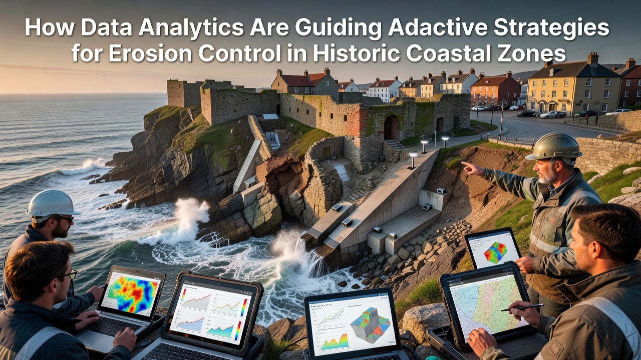
Historic coastal zones face mounting pressure from rising sea levels and intensifying storms, yet data analytics now provide the tools that guide precise, adaptive erosion control measures across these sensitive areas. Researchers integrate satellite imagery, sensor networks, and predictive models to track sediment movement and forecast shoreline changes, allowing authorities to adjust interventions before damage escalates. In October 2026, several European and North American heritage sites are scheduled to receive updated analytics dashboards that combine real-time tidal data with long-term climate projections.
Core Data Sources Driving Decisions
Agencies collect information from multiple layers that include LiDAR surveys, drone-based photogrammetry, and fixed coastal monitoring stations equipped with wave and current sensors. These datasets feed machine learning algorithms that identify patterns in erosion rates, distinguishing between natural sediment transport and human-induced acceleration. According to reports from the National Oceanic and Atmospheric Administration, annual sediment loss along certain Atlantic heritage shorelines reached 2.4 meters between 2020 and 2025, prompting targeted reinforcement projects.
Analysts also incorporate bathymetric mapping and historical records to establish baseline conditions for each site. This approach reveals how past storm events altered beach profiles, enabling planners to simulate future scenarios with greater accuracy. Observers note that combining these sources reduces uncertainty in erosion forecasts by up to 35 percent compared with traditional survey methods alone.
Adaptive Strategies Informed by Analytics
Once models highlight vulnerable stretches, managers implement dynamic responses such as adjustable breakwaters, targeted sand nourishment, and vegetation buffers that evolve with incoming data. In one documented case along the Mediterranean, real-time analytics prompted the repositioning of submerged barriers three times within a single season to maintain optimal wave attenuation. Those adjustments preserved archaeological layers that static structures might have exposed.
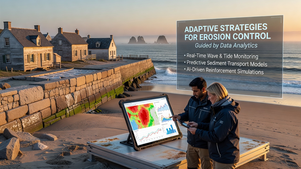
Further north, Canadian researchers applied similar techniques around Newfoundland outports, where analytics flagged accelerated undercutting near 18th-century fishing stations. The resulting strategy combined geotextile tubes with periodic sediment replenishment calibrated to seasonal wave energy predictions. Data streams from these installations now update every six hours, allowing crews to scale operations according to immediate conditions rather than fixed calendars.
Regional Case Applications
Venice continues to refine its MOSE flood barriers using analytics that merge lagoon current readings with subsidence measurements. The system flags when barrier deployment thresholds should shift based on evolving erosion patterns around historic islands. Meanwhile, Australian heritage managers in New South Wales use comparable platforms to protect convict-era fortifications, adjusting dune restoration volumes after each major swell event tracked through integrated sensor arrays.
What's notable is the cross-regional sharing of processed datasets through open portals, which lets smaller municipalities apply proven algorithms without duplicating expensive monitoring infrastructure. This collaboration accelerates learning curves while maintaining site-specific calibration.
Conclusion
Analytics continue to refine erosion responses by turning disparate measurements into actionable timelines for historic coastal zones. As October 2026 approaches, expanded data integration promises tighter coordination between monitoring and on-ground works, supporting the long-term stability of irreplaceable cultural landscapes.